01
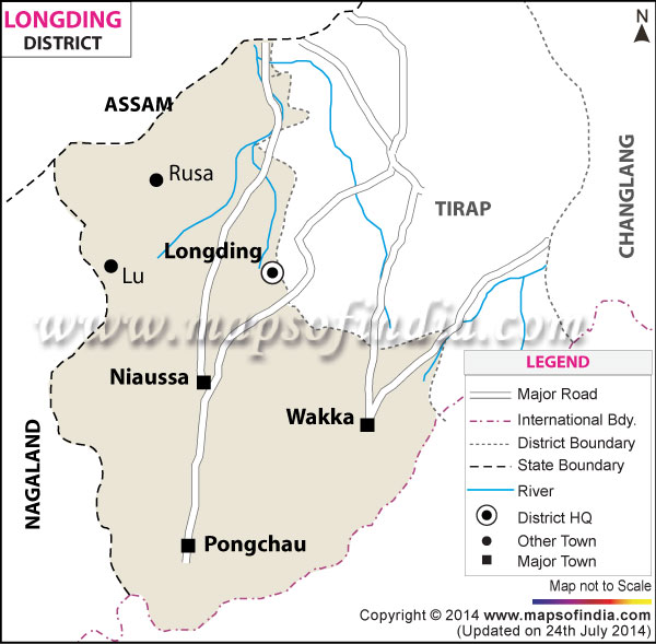
Longding
District HQ
Administrative centre of the district, named after the river that flows nearby.
Jai Wanchonu! · Jai Arunachal! · Jai Hind!
The heartland of the Wancho people — a district of green hills, winding rivers, and five closely-knit villages.
District Overview
Longding is one of the newer districts of Arunachal Pradesh, carved out from Tirap in 2012. It shares a western border with Nagaland and an eastern one with Tirap, and is connected to the rest of the state through a mix of hill roads and narrow valleys.
The Wancho people have lived across these hills for generations, organising life around five major villages. Each has its own character, leadership, and cultural rhythm — all woven together by shared language, traditions, and kinship.
The Five
District HQ
Administrative centre of the district, named after the river that flows nearby.
Northern Village
A large cluster of Wancho households in the north of the district.
Western Village
Bordering the Nagaland side of the district, historically significant.
Central Village
A cultural hub for Wancho traditions, festivals, and community gatherings.
Southern Village
One of the southernmost Wancho settlements, close to the Tirap border.
Living Culture
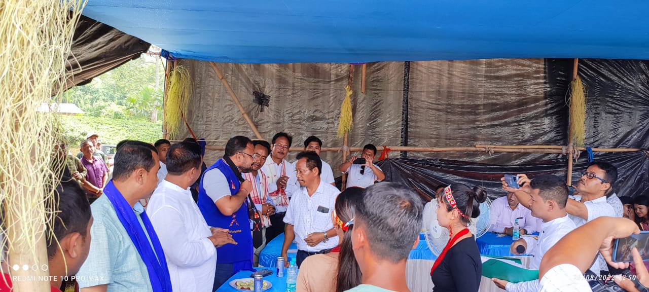
Wancho life is rich with festivals, handicrafts, and oral traditions — carried from one generation to the next through song, dance, and shared meals. The council works closely with village elders to document, protect, and celebrate these practices.
See photos of our culture →